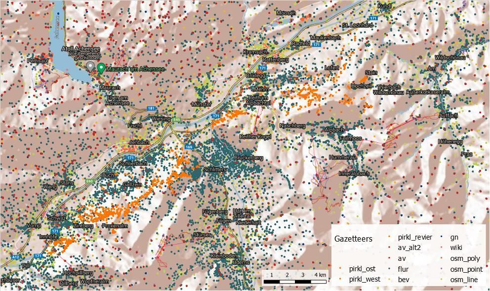
The current T.M.M.M.T. Gazetteer is based on the already existing gazetteer from a previous project "SeMoHi - Semantics of Mountaineering History" and integrates place names and names of mine workings. The pit names were taken from a map by Pirkl (1961). The figure below shows the investigation area in the Tyrol with the Gazetteer entries. The map section depicts the investigation area, which includes the areas of Alpbachtal and the region of Schwaz.
In addition, historical registers of mines and places as well as historical registers of persons were compiled.
Historical register of places and mines: DOI:
10.5281/zenodo.6368451
Historical person register: DOI:
10.5281/zenodo.6368468
References:
Pirkl, Herwig (1961): Geologie des Trias-Streifens und des Schwazer Dolomits südlich des Inn zwischen Schwaz und Wörgl (Tirol), Jahrbuch Geol. B. A. (1961), Bd. 104. 1. Heft, (Wien 1961).